COAX
Look inside before entering
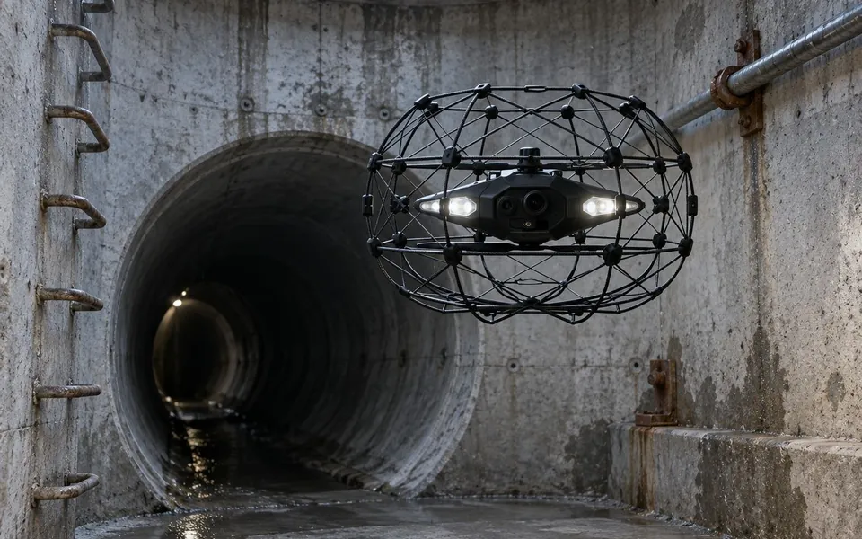
A compact, guarded drone designed for enclosed spaces without GPS. It can capture imagery and geometry in difficult access areas.
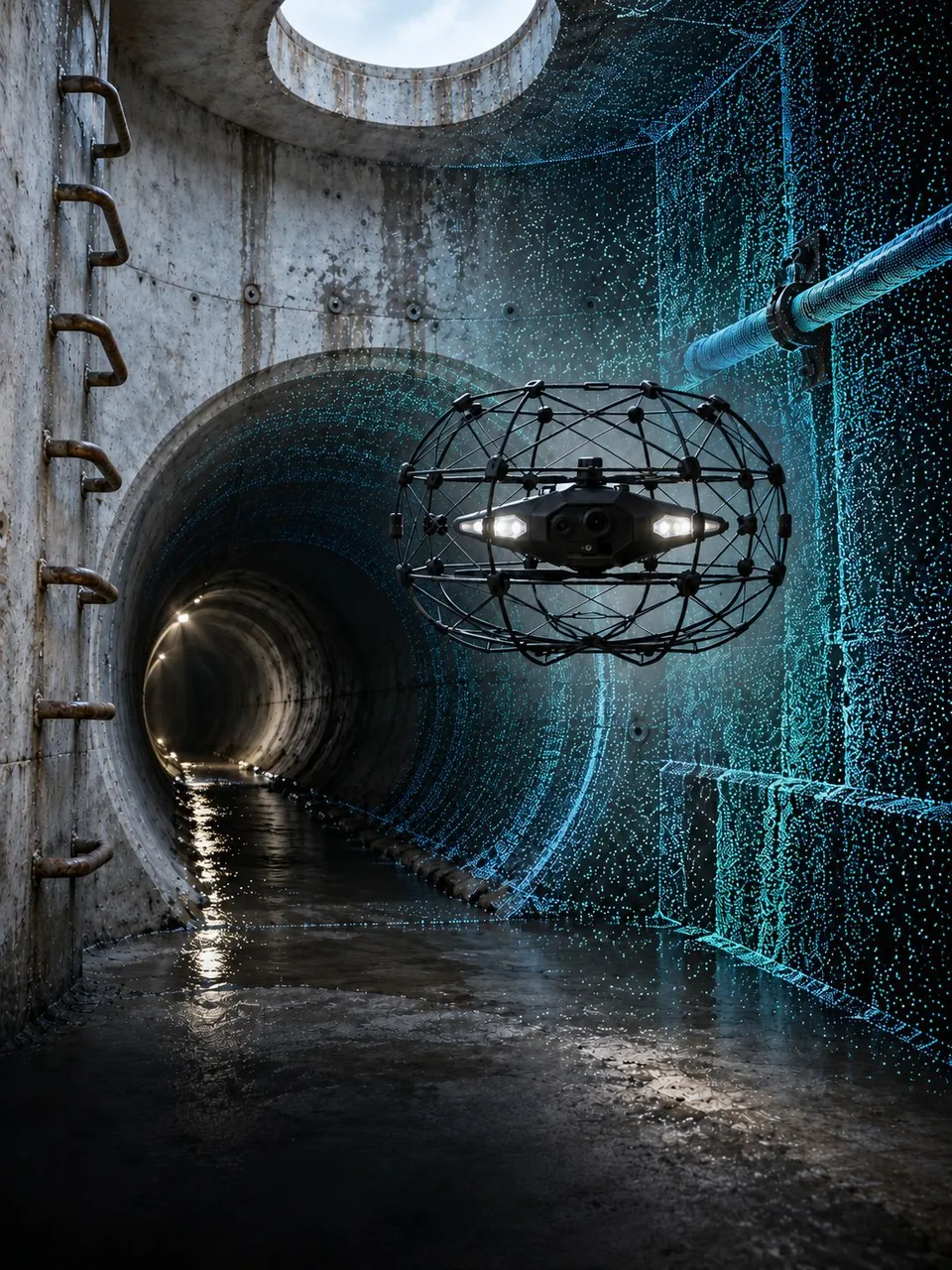
We combine remote inspection, mobile scanning and shared documentation so water utility teams can work from evidence tied to a specific place.
Discuss a pilotApplication illustration
We plan access and measurements around each site. The material can support further inspection, cleaning, refurbishment and technical review.
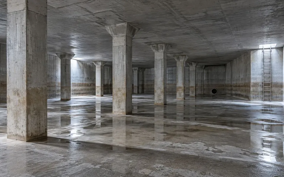
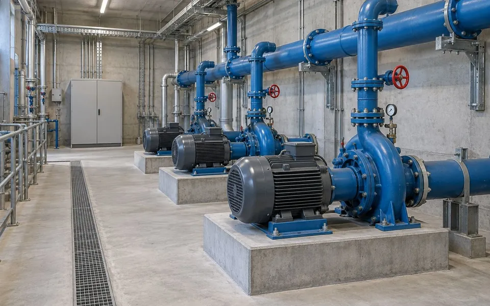
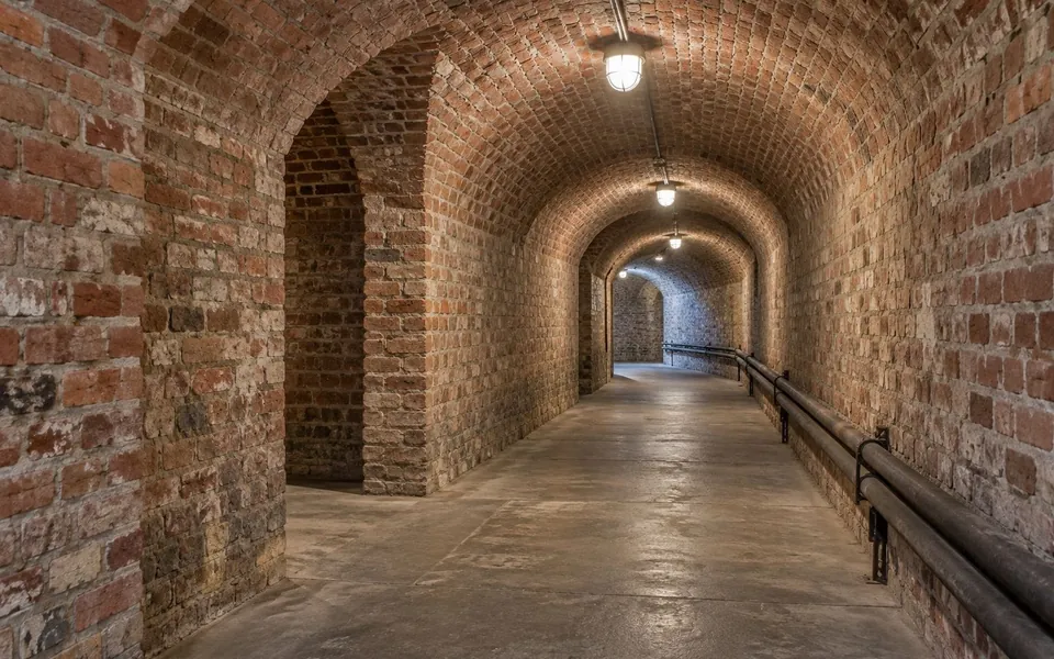
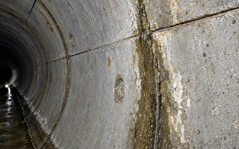
Illustrative photos and visualizations from the Revdock solutions catalogue.
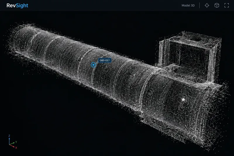
The drone and handheld scanner collect data in different ways. RevSight brings the results together with team observations.
A compact, guarded drone designed for enclosed spaces without GPS. It can capture imagery and geometry in difficult access areas.
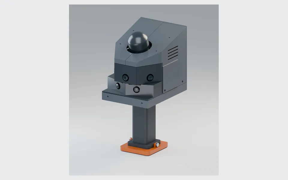
A handheld system combines 3D scanning and visual records of accessible rooms, installations and equipment. Additional sensors are selected for the task.
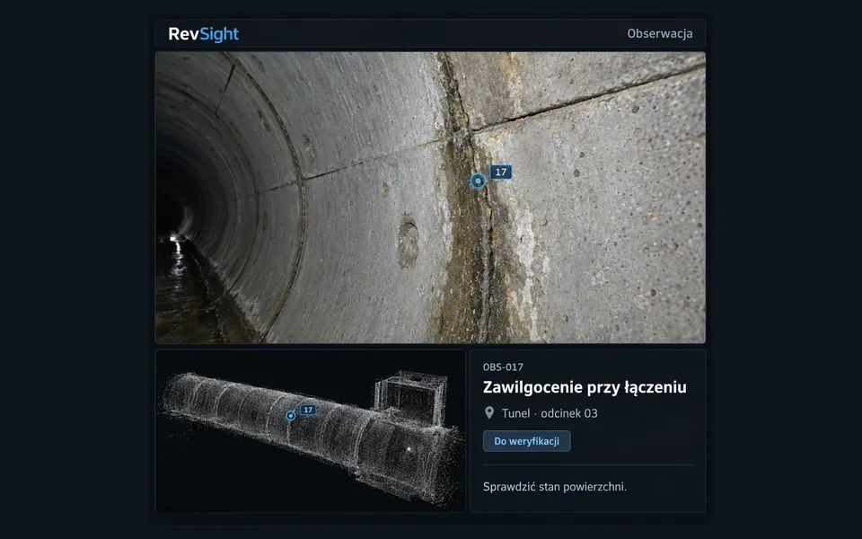
Spatial models, photos, video and observations retain their location context for future maintenance planning.
The record helps locate an area, review source evidence and share observations with those responsible for maintenance.
Start with the asset type, inspection goal and access conditions.
Agree on the asset, questions to answer and the required output.
Plan access, method, sensors, safety and the format of the deliverables.
Collect data and assess its quality and usefulness with the team.
No. Feasibility depends on entry geometry, water level, obstructions, airflow and communications. We assess the conditions before selecting a method.
It fits accessible areas where an operator can move safely and spatial documentation of rooms, equipment or installations is needed.
Imagery and geometry can point to areas for review. A technical diagnosis may need specialist measurements, tests or direct examination.
Send us a short description of the infrastructure, inspection goal and access conditions. We can outline a pilot.