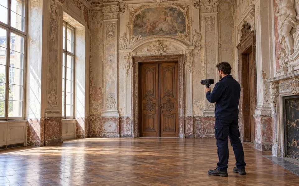
Handheld
Scan interiors while moving through them
The handheld scanner connects 3D geometry with imagery and records room layouts without GPS.
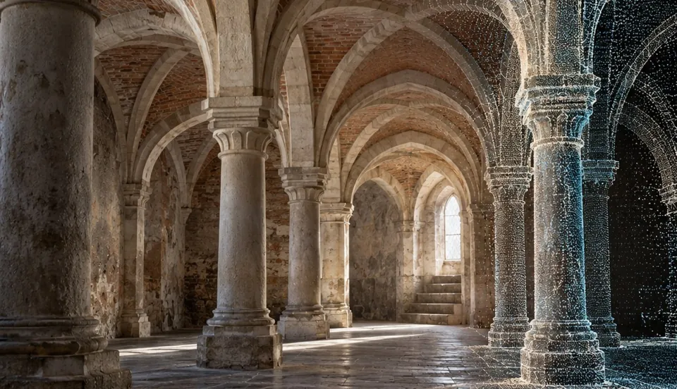
Digital documentation helps conservators and site managers plan work, discuss observations and preserve a record of an asset’s condition.
Discuss documentationApplication illustration
We choose a capture method that suits the geometry and sensitivity of the site. The record can support consultation, project planning and later review.
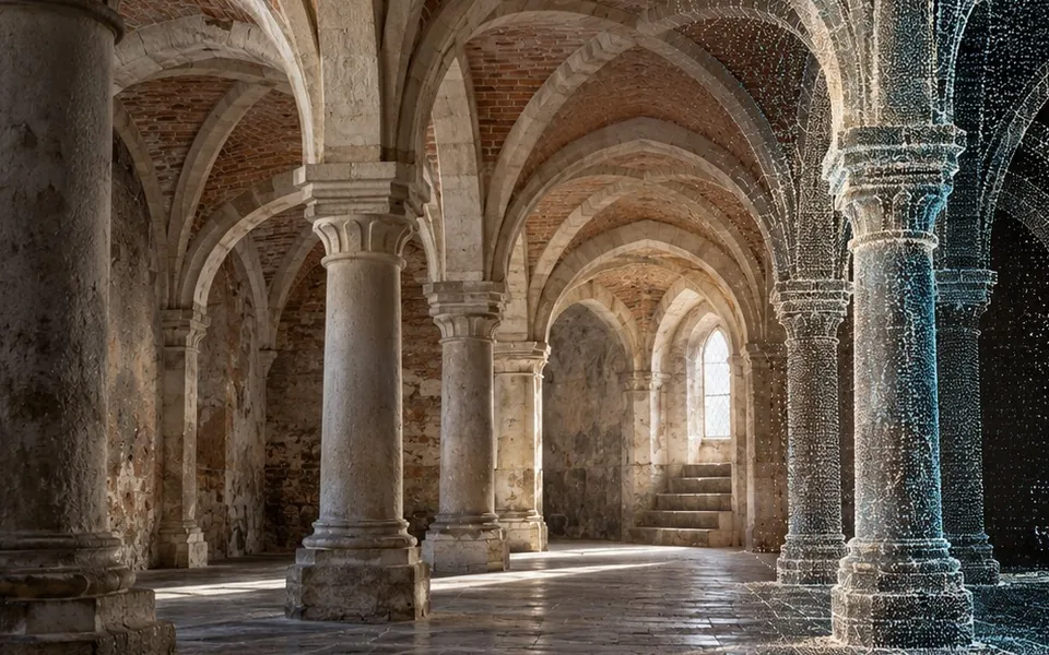
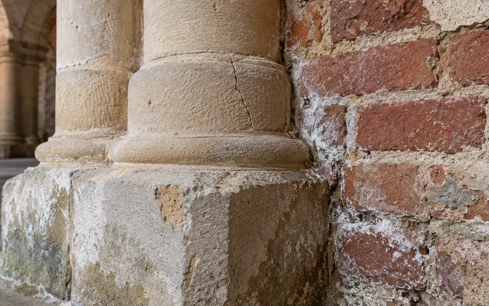
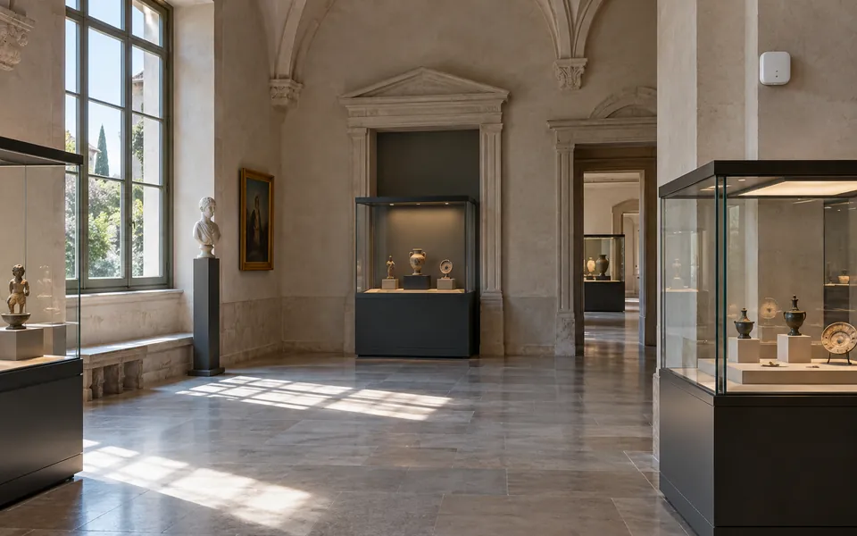
Illustrative brochure imagery and a generated visualization of a collection gallery.
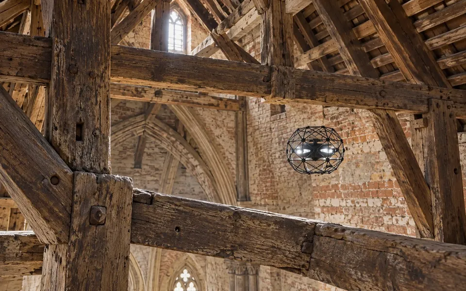
We combine walk-through documentation with a remote view of difficult access areas.
The handheld scanner connects 3D geometry with imagery and records room layouts without GPS.
The guarded drone is designed to gather imagery and spatial data indoors. We agree on a safe approach with the site custodian before flight.
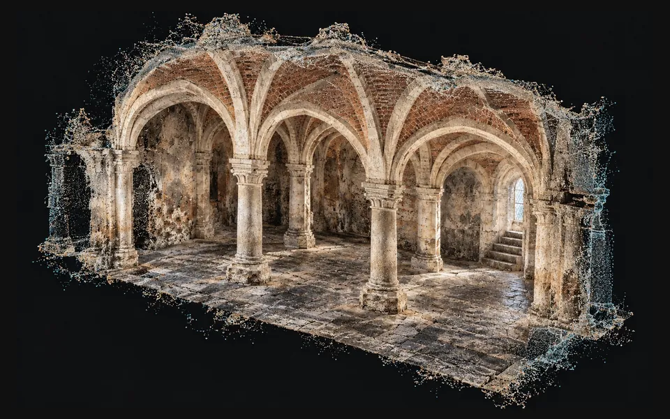
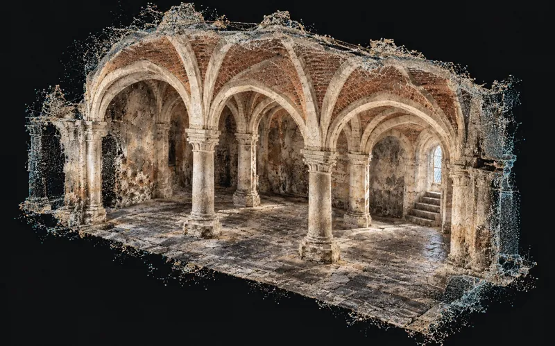
Spatial views connect with photos and descriptions, so teams can return to an exact area during consultation.
An observation can connect a description of visible condition, a photograph and a 3D model reference. It supports specialist review rather than giving an automatic diagnosis.
Tell us about the site, the material needed and the access conditions.
Identify spaces, details and questions the record should support.
Agree on access, protection of delicate surfaces and relevant sensors.
Organize the model, imagery and observations for consultation and future reviews.
No. We assess geometry, access, airflow and the sensitivity of surfaces and furnishings with the site custodian first.
Depending on the task and configuration, these may include temperature, humidity, air quality, illuminance or thermal imagery. We agree on the scope in advance.
No. Models, imagery and measurements provide material for consultation. Interpretation and decisions on further studies or treatment remain with qualified specialists.
Tell us which site, spaces and documentation goals matter most. We will shape the scope around its conditions.