GNSS-denied operation
Work in underground structures where normal satellite positioning is not available.
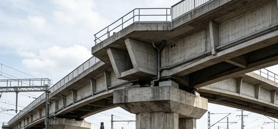
COAX is a compact inspection platform for tunnels, galleries and underground passages where satellite positioning is unavailable and access can interrupt operations.
Plan a tunnel pilotTunnel inspections may need visual coverage of linings, joints, services, portals and hard-to-reach sections. COAX is being developed to collect inspection data near the structure, while RevSight keeps observations connected to footage and reporting.
Work in underground structures where normal satellite positioning is not available.
Observe elevated, constrained or obstructed areas without relying only on ground-level views.
Organize visible findings and their source material for engineering and maintenance teams.
The inspection plan should reflect geometry, traffic or operations, airflow, communications and required coverage.
A defined route and observation list make the captured data easier to use.
Define access, route length, target surfaces, operational constraints and communication points.
Record the agreed tunnel section and areas that are difficult to view from the ground.
Connect observations to evidence and prepare findings for engineering follow-up.
Yes. COAX is designed for confined environments where GNSS/GPS is unavailable.
Geometry, airflow, dust, moisture, traffic or operations, obstacles, access points and communication range all need to be considered.
No. Visual evidence can identify areas of interest and support planning, but structural assessment may require measurements, sampling or other specialist methods.
Share the tunnel geometry, access constraints and surfaces your team needs to inspect.